Brambly patch on Ripponden FP64
Introduction
The photograph on this page of Brambly patch on Ripponden FP64 by Humphrey Bolton as part of the Geograph project.
The Geograph project started in 2005 with the aim of publishing, organising and preserving representative images for every square kilometre of Great Britain, Ireland and the Isle of Man.

There are currently over 7.5m images from over 14,400 individuals and you can help contribute to the project by visiting https://www.geograph.org.uk
Brambly patch on Ripponden FP64
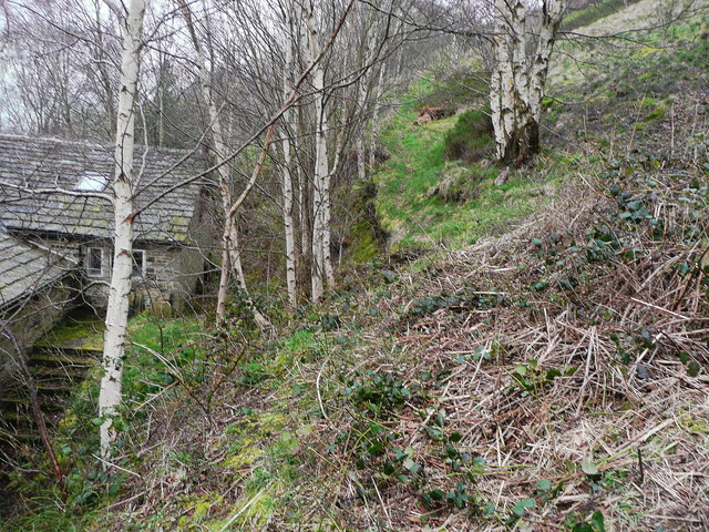
Image: © Humphrey Bolton Taken: 31 Mar 2014
Here a short stretch of the path tends to be covered by bramble stems. It is clear now, and needs people to walk it to keep it clear. The path goes up via a green lane to cross FP62 and meet FP65 (Moor Bottom Road).
Images are licensed for reuse under creativecommons.org/licenses/by-sa/2.0
Image Location
Latitude
53.680762
Longitude
-1.930472