Sidemoor New First School
Introduction
The photograph on this page of Sidemoor New First School by David P Howard as part of the Geograph project.
The Geograph project started in 2005 with the aim of publishing, organising and preserving representative images for every square kilometre of Great Britain, Ireland and the Isle of Man.

There are currently over 7.5m images from over 14,400 individuals and you can help contribute to the project by visiting https://www.geograph.org.uk
Sidemoor New First School
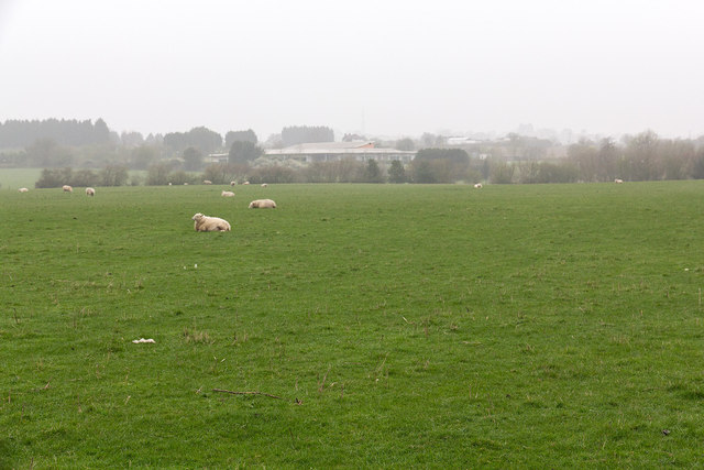
Image: © David P Howard Taken: 3 Apr 2014
Looking north from the footpath from Carol Avenue towards Red Cross Farm. The school almost disappears in the haze of atmospheric pollution hanging in the air.
Images are licensed for reuse under creativecommons.org/licenses/by-sa/2.0
Image Location
Latitude
52.341553
Longitude
-2.076722