Great Western Road
Introduction
The photograph on this page of Great Western Road by Thomas Nugent as part of the Geograph project.
The Geograph project started in 2005 with the aim of publishing, organising and preserving representative images for every square kilometre of Great Britain, Ireland and the Isle of Man.

There are currently over 7.5m images from over 14,400 individuals and you can help contribute to the project by visiting https://www.geograph.org.uk
Great Western Road
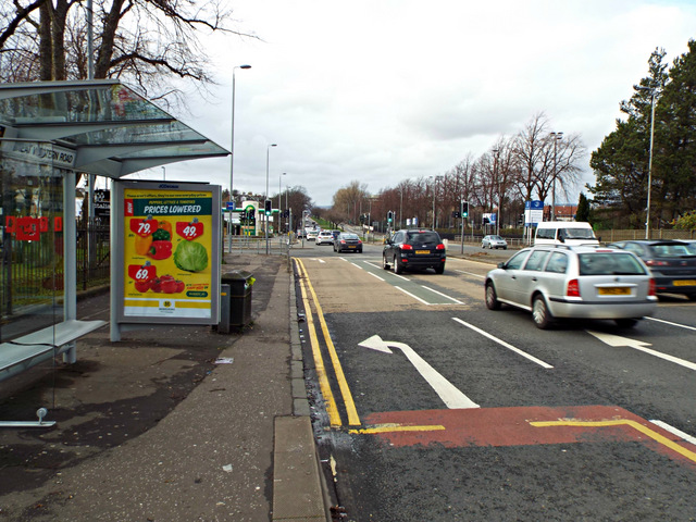
Image: © Thomas Nugent Taken: 1 Mar 2014
The A82 is the main road leading west north of the Clyde. It starts slightly east of here and runs all the way to Inverness, a distance of 167 miles http://en.wikipedia.org/wiki/A82_road . This is the junction for Gartnavel hospital, which is on the left.
Images are licensed for reuse under creativecommons.org/licenses/by-sa/2.0
Image Location
Latitude
55.884433
Longitude
-4.30951