Quarry floor: Berengrave Nature Reserve
Introduction
The photograph on this page of Quarry floor: Berengrave Nature Reserve by Dylan Moore as part of the Geograph project.
The Geograph project started in 2005 with the aim of publishing, organising and preserving representative images for every square kilometre of Great Britain, Ireland and the Isle of Man.

There are currently over 7.5m images from over 14,400 individuals and you can help contribute to the project by visiting https://www.geograph.org.uk
Quarry floor: Berengrave Nature Reserve
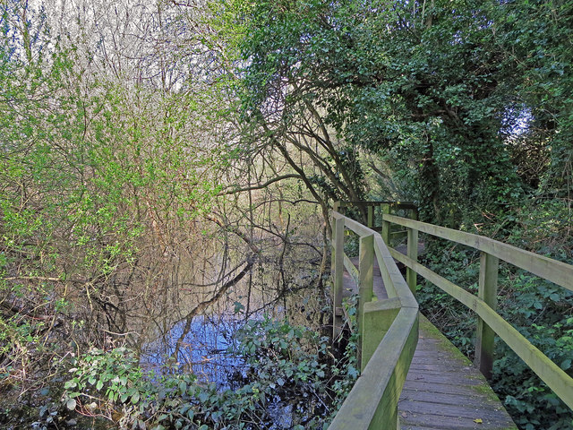
Image: © Dylan Moore Taken: 1 Apr 2014
This part of the nature reserve consists of the abandoned chalk quarry of the British Standard cement plant which operated from 1913 to 1931. For details, see http://www.cementkilns.co.uk/cement_kiln_british_standard.html and related pages.
Images are licensed for reuse under creativecommons.org/licenses/by-sa/2.0
Image Location
Latitude
51.372477
Longitude
0.6136