Rotherham - view west from steps to Oil Mill Fold
Introduction
The photograph on this page of Rotherham - view west from steps to Oil Mill Fold by Dave Bevis as part of the Geograph project.
The Geograph project started in 2005 with the aim of publishing, organising and preserving representative images for every square kilometre of Great Britain, Ireland and the Isle of Man.

There are currently over 7.5m images from over 14,400 individuals and you can help contribute to the project by visiting https://www.geograph.org.uk
Rotherham - view west from steps to Oil Mill Fold
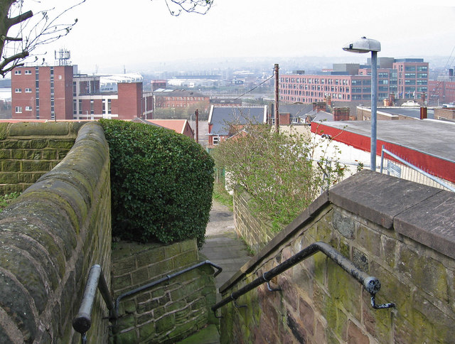
Image: © Dave Bevis Taken: 30 Mar 2014
This view is taken from the top of the steps that connect Down's Row with Oil Mill Fold. On a clear day it should be possible to see both the old (Millmoor) and new (New York) Rotherham United Football Club's grounds and, beyond them, to the hills north of Sheffield. This was a particularly hazy day. However, the new multi-storey Rotherham Council offices are readily identifiable in the top right-hand quadrant of the photo.
Images are licensed for reuse under creativecommons.org/licenses/by-sa/2.0
Image Location
Latitude
53.426929
Longitude
-1.356903