19 and 21 Upper Park Road
Introduction
The photograph on this page of 19 and 21 Upper Park Road by Kate Jewell as part of the Geograph project.
The Geograph project started in 2005 with the aim of publishing, organising and preserving representative images for every square kilometre of Great Britain, Ireland and the Isle of Man.

There are currently over 7.5m images from over 14,400 individuals and you can help contribute to the project by visiting https://www.geograph.org.uk
19 and 21 Upper Park Road
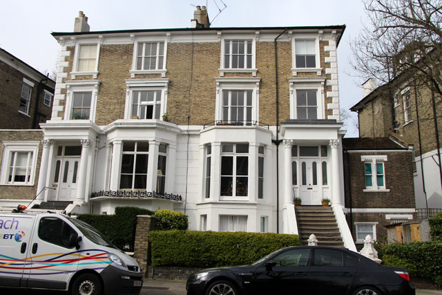
Image: © Kate Jewell Taken: 30 Mar 2014
Typical of the semi-detached Victorian villas on this road: 4 storeys with two storey extensions to the side, converted to flats.
Images are licensed for reuse under creativecommons.org/licenses/by-sa/2.0
Image Location
Latitude
51.550359
Longitude
-0.160347