Augusta Gardens, Folkestone
Introduction
The photograph on this page of Augusta Gardens, Folkestone by Danny P Robinson as part of the Geograph project.
The Geograph project started in 2005 with the aim of publishing, organising and preserving representative images for every square kilometre of Great Britain, Ireland and the Isle of Man.

There are currently over 7.5m images from over 14,400 individuals and you can help contribute to the project by visiting https://www.geograph.org.uk
Augusta Gardens, Folkestone
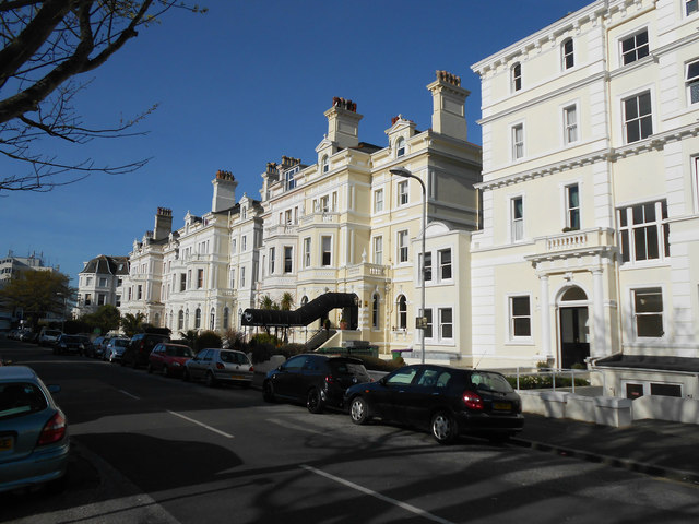
Image: © Danny P Robinson Taken: 1 Apr 2014
Unusually, this road has one name for one side and another name the other side. Augusta Gardens, as seen here, is on the eastern side of the street and Trinity Gardens is on the west. Google Maps incorrectly states that the entire road is called Trinity Gardens. There's no simple way for cartographers to represent this without taking up a lot of space.
Images are licensed for reuse under creativecommons.org/licenses/by-sa/2.0
Image Location
Latitude
51.077005
Longitude
1.168738