Houses lost to bombing in Pendle Road
Introduction
The photograph on this page of Houses lost to bombing in Pendle Road by Marathon as part of the Geograph project.
The Geograph project started in 2005 with the aim of publishing, organising and preserving representative images for every square kilometre of Great Britain, Ireland and the Isle of Man.

There are currently over 7.5m images from over 14,400 individuals and you can help contribute to the project by visiting https://www.geograph.org.uk
Houses lost to bombing in Pendle Road
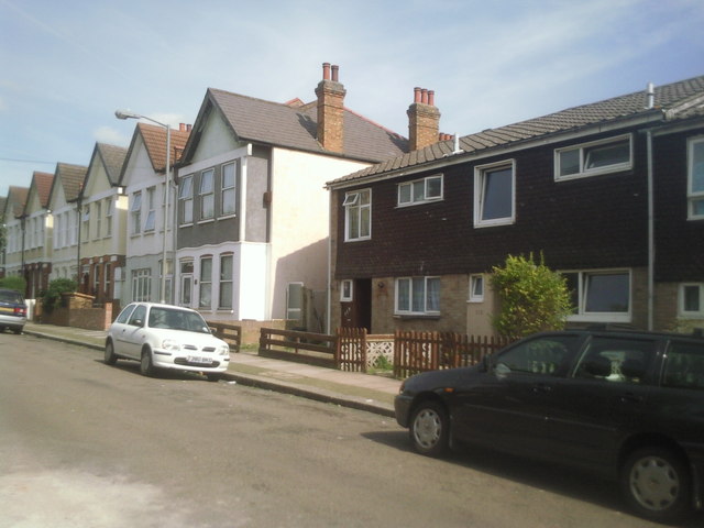
Image: © Marathon Taken: 1 Sep 2010
Most of the houses in Pendle Road are pre First World War, but nearest the camera they were destroyed in the Second World War and have been replaced by modern houses.
Images are licensed for reuse under creativecommons.org/licenses/by-sa/2.0
Image Location
Latitude
51.422647
Longitude
-0.147789