Path and footbridge
Introduction
The photograph on this page of Path and footbridge by Lairich Rig as part of the Geograph project.
The Geograph project started in 2005 with the aim of publishing, organising and preserving representative images for every square kilometre of Great Britain, Ireland and the Isle of Man.

There are currently over 7.5m images from over 14,400 individuals and you can help contribute to the project by visiting https://www.geograph.org.uk
Path and footbridge
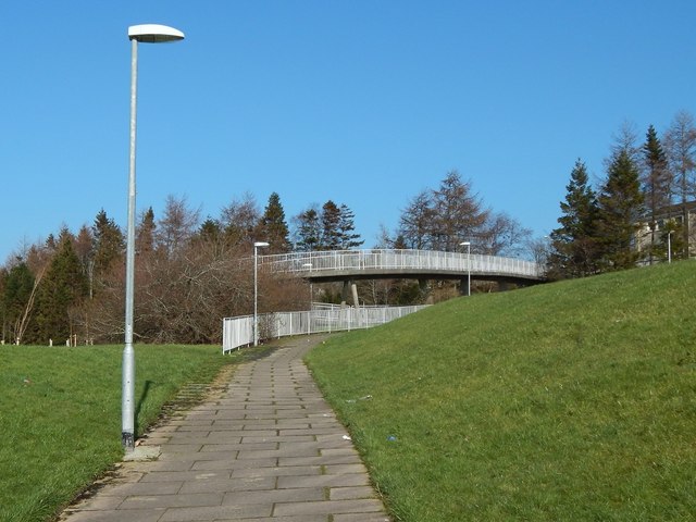
Image: © Lairich Rig Taken: 24 Feb 2014
The path is marked on the 1:25000 OS map, as is the footbridge (as "FB"), which crosses above a road, and which leads from Ladyton (on this side) to Pappert. There is sometimes the temptation to bypass a winding footbridge by crossing the road directly, but not here: the houses on the Pappert side sit above a steep high bank. For a view in the opposite direction from on top of the footbridge, see Image In that photograph, the section of path from which the present picture was taken can be seen on the left, with the same lamp posts visible.
Images are licensed for reuse under creativecommons.org/licenses/by-sa/2.0
Image Location
Latitude
55.980117
Longitude
-4.561283