Road through plantations at Marley Head
Introduction
The photograph on this page of Road through plantations at Marley Head by David Smith as part of the Geograph project.
The Geograph project started in 2005 with the aim of publishing, organising and preserving representative images for every square kilometre of Great Britain, Ireland and the Isle of Man.

There are currently over 7.5m images from over 14,400 individuals and you can help contribute to the project by visiting https://www.geograph.org.uk
Road through plantations at Marley Head
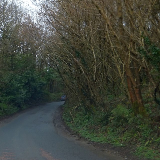
Image: © David Smith Taken: 29 Mar 2014
The minor road to Diptford is the boundary between Clumpfield (on the right) and Channer Head Plantations
Images are licensed for reuse under creativecommons.org/licenses/by-sa/2.0
Image Location
Latitude
50.430896
Longitude
-3.798062