Woodland path
Introduction
The photograph on this page of Woodland path by Lairich Rig as part of the Geograph project.
The Geograph project started in 2005 with the aim of publishing, organising and preserving representative images for every square kilometre of Great Britain, Ireland and the Isle of Man.

There are currently over 7.5m images from over 14,400 individuals and you can help contribute to the project by visiting https://www.geograph.org.uk
Woodland path
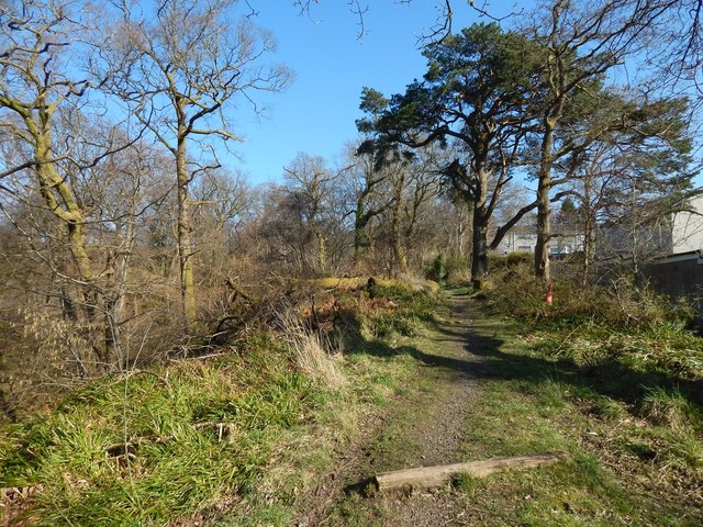
Image: © Lairich Rig Taken: 24 Feb 2014
To the left (north) of the path, the ground slopes down steeply to the course of the Pappert Burn. On the right are the houses in Pappert. Further uphill, at the top of the housing estate, the path emerges into the open: Image / Image There is another path running parallel to this one on the other side of the burn: Image The intervening glen of the burn would make it difficult to cross from one path to another at this point, and the other path is best joined either at its downhill end (Image), or much further uphill (near a Image), where the course of the burn is very shallow.
Images are licensed for reuse under creativecommons.org/licenses/by-sa/2.0
Image Location
Latitude
55.983128
Longitude
-4.559077