Woodland path
Introduction
The photograph on this page of Woodland path by Lairich Rig as part of the Geograph project.
The Geograph project started in 2005 with the aim of publishing, organising and preserving representative images for every square kilometre of Great Britain, Ireland and the Isle of Man.

There are currently over 7.5m images from over 14,400 individuals and you can help contribute to the project by visiting https://www.geograph.org.uk
Woodland path
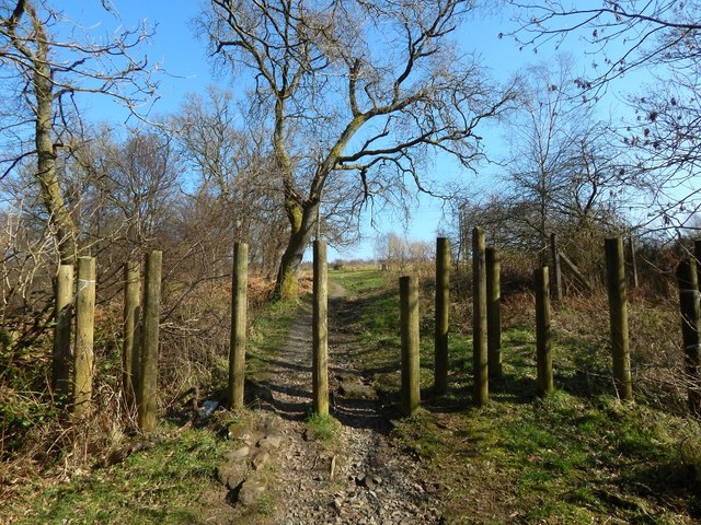
Image: © Lairich Rig Taken: 24 Feb 2014
Ahead, and just visible to the right of the path, is a marker, shown in Image The community woodland contains paths for walkers (not motor bikes and similar vehicles that would quickly turn the paths into a muddy mess). The path shown here runs along the southern side of the Pappert Burn.
Images are licensed for reuse under creativecommons.org/licenses/by-sa/2.0
Image Location
Latitude
55.983155
Longitude
-4.557796