Junction Street
Introduction
The photograph on this page of Junction Street by Gerald England as part of the Geograph project.
The Geograph project started in 2005 with the aim of publishing, organising and preserving representative images for every square kilometre of Great Britain, Ireland and the Isle of Man.

There are currently over 7.5m images from over 14,400 individuals and you can help contribute to the project by visiting https://www.geograph.org.uk
Junction Street
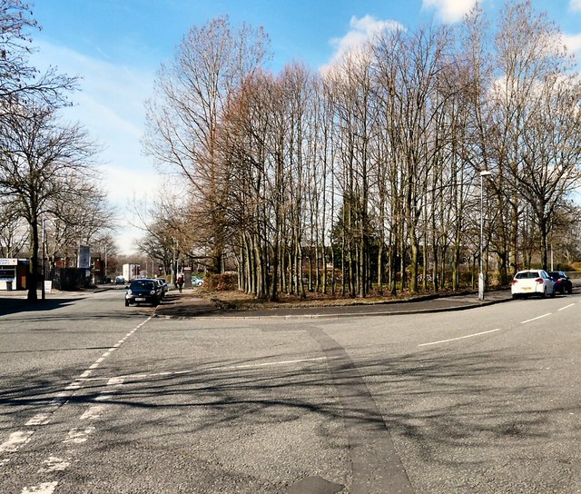
Image: © Gerald England Taken: 24 Mar 2014
Junction Street divides here as it reaches the A627. Left leads to Dukinfield Road and Hyde. Right leads to Victoria Road and Ashton under Lyne. On the other side of the A627 beyond the tree-lined grassy triangle of waste ground lies the Village Hotel.
Images are licensed for reuse under creativecommons.org/licenses/by-sa/2.0
Image Location
Latitude
53.46512
Longitude
-2.087928