Caeau ger Bwlch y Ffordd / Fields near Bwlch y Ffordd
Introduction
The photograph on this page of Caeau ger Bwlch y Ffordd / Fields near Bwlch y Ffordd by Ian Medcalf as part of the Geograph project.
The Geograph project started in 2005 with the aim of publishing, organising and preserving representative images for every square kilometre of Great Britain, Ireland and the Isle of Man.

There are currently over 7.5m images from over 14,400 individuals and you can help contribute to the project by visiting https://www.geograph.org.uk
Caeau ger Bwlch y Ffordd / Fields near Bwlch y Ffordd
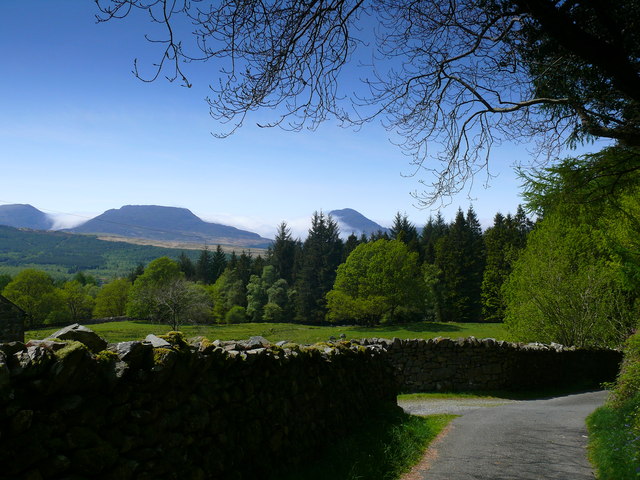
Image: © Ian Medcalf Taken: 23 May 2012
Golygfa o'r Rhinogydd dros caeau Bwlch y Ffordd / View over fields at Bwlch y Ffordd to the Rhinogs.
Images are licensed for reuse under creativecommons.org/licenses/by-sa/2.0
Image Location
Latitude
52.836435
Longitude
-3.900871