Drumgor Road, Craigavon
Introduction
The photograph on this page of Drumgor Road, Craigavon by Dean Molyneaux as part of the Geograph project.
The Geograph project started in 2005 with the aim of publishing, organising and preserving representative images for every square kilometre of Great Britain, Ireland and the Isle of Man.

There are currently over 7.5m images from over 14,400 individuals and you can help contribute to the project by visiting https://www.geograph.org.uk
Drumgor Road, Craigavon
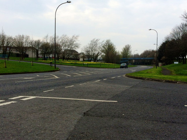
Image: © Dean Molyneaux Taken: 30 Mar 2014
Drumgor Road is a busy thoroughfare which separates the Drumgor and Legahory neighbourhoods. It also carries a great deal of traffic between Lurgan and the central Craigavon area.
Images are licensed for reuse under creativecommons.org/licenses/by-sa/2.0
Image Location
Latitude
54.44592
Longitude
-6.369853