Drumgor Heights, Craigavon
Introduction
The photograph on this page of Drumgor Heights, Craigavon by Dean Molyneaux as part of the Geograph project.
The Geograph project started in 2005 with the aim of publishing, organising and preserving representative images for every square kilometre of Great Britain, Ireland and the Isle of Man.

There are currently over 7.5m images from over 14,400 individuals and you can help contribute to the project by visiting https://www.geograph.org.uk
Drumgor Heights, Craigavon
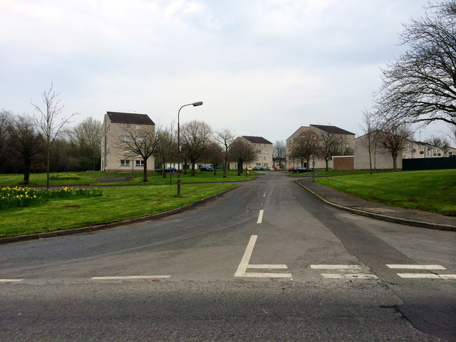
Image: © Dean Molyneaux Taken: 30 Mar 2014
One of the housing estates in the Legahory area of Craigavon, the New Town built in the late 1960s and early 1970s in north County Armagh. There were once more of these flats, although some were demolished in the 2000s, often due to dereliction as a result of anti-social behaviour. This estate was built in 1972.
Images are licensed for reuse under creativecommons.org/licenses/by-sa/2.0
Image Location
Latitude
54.446256
Longitude
-6.374773