Sticil Cwm Clydach / Cwm Clydach stile
Introduction
The photograph on this page of Sticil Cwm Clydach / Cwm Clydach stile by Alan Richards as part of the Geograph project.
The Geograph project started in 2005 with the aim of publishing, organising and preserving representative images for every square kilometre of Great Britain, Ireland and the Isle of Man.

There are currently over 7.5m images from over 14,400 individuals and you can help contribute to the project by visiting https://www.geograph.org.uk
Sticil Cwm Clydach / Cwm Clydach stile
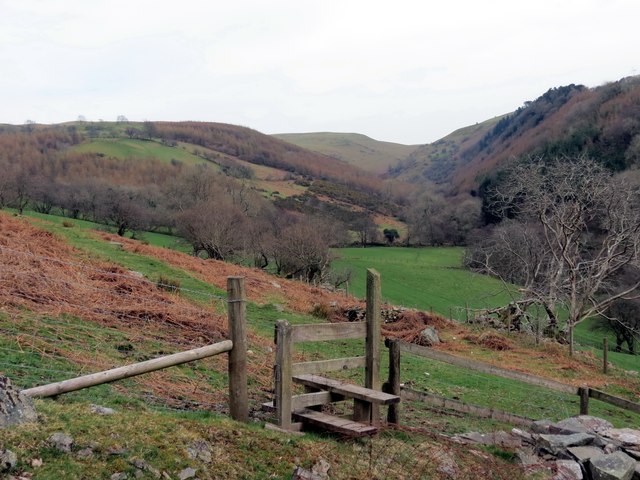
Image: © Alan Richards Taken: 29 Mar 2014
Sticil gerllaw heol a arwain lan at Ffarm Pentregronw (adfail) a'r mynydd agored. Yn y pellter gellir gweld Cwm Clydach. A stile next to the former access road ascending towards Pentregronw Farm (trans. Goronwy's chief farm) and the open moorland. In the distance is Cwm Clydach.
Images are licensed for reuse under creativecommons.org/licenses/by-sa/2.0
Image Location
Latitude
51.937869
Longitude
-3.766192