Cae amaethyddol, Cwm Cafn / Agricultural field, Cwm Cafn
Introduction
The photograph on this page of Cae amaethyddol, Cwm Cafn / Agricultural field, Cwm Cafn by Ian Medcalf as part of the Geograph project.
The Geograph project started in 2005 with the aim of publishing, organising and preserving representative images for every square kilometre of Great Britain, Ireland and the Isle of Man.

There are currently over 7.5m images from over 14,400 individuals and you can help contribute to the project by visiting https://www.geograph.org.uk
Cae amaethyddol, Cwm Cafn / Agricultural field, Cwm Cafn
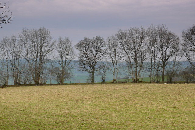
Image: © Ian Medcalf Taken: 29 Mar 2014
Rhan o Daith Aberaeron i Lanbedr Pont Steffan / Part of the Aberaeron to Lampeter Trail.
Images are licensed for reuse under creativecommons.org/licenses/by-sa/2.0
Image Location
Latitude
52.172002
Longitude
-4.116345