Gawde Water next to Horsemoor Lane
Introduction
The photograph on this page of Gawde Water next to Horsemoor Lane by Peter S as part of the Geograph project.
The Geograph project started in 2005 with the aim of publishing, organising and preserving representative images for every square kilometre of Great Britain, Ireland and the Isle of Man.

There are currently over 7.5m images from over 14,400 individuals and you can help contribute to the project by visiting https://www.geograph.org.uk
Gawde Water next to Horsemoor Lane
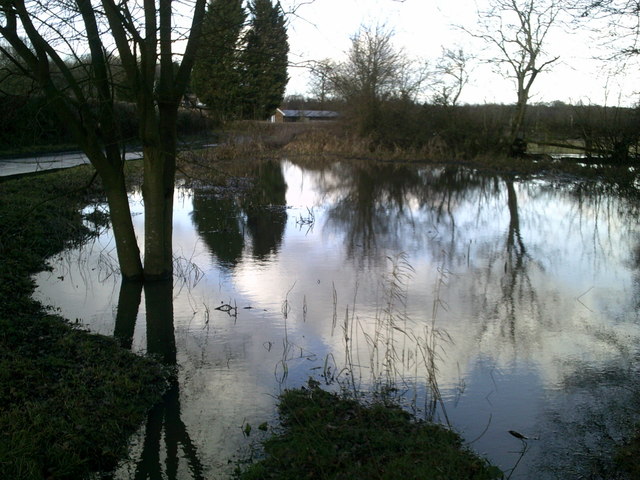
Image: © Peter S Taken: 7 Feb 2014
A pond, described by a nearby noticeboard as “gourd shaped” but the outline defies description after heavy rainfall.
Images are licensed for reuse under creativecommons.org/licenses/by-sa/2.0
Image Location
Latitude
51.645328
Longitude
-0.659052