Benson, centre
Introduction
The photograph on this page of Benson, centre by Bikeboy as part of the Geograph project.
The Geograph project started in 2005 with the aim of publishing, organising and preserving representative images for every square kilometre of Great Britain, Ireland and the Isle of Man.

There are currently over 7.5m images from over 14,400 individuals and you can help contribute to the project by visiting https://www.geograph.org.uk
Benson, centre
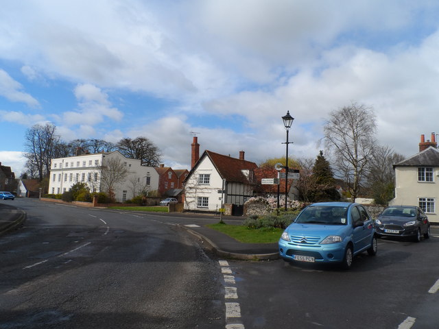
Image: © Bikeboy Taken: 23 Mar 2014
Benson was originally Villiam Regiam (King's town), then Baenesingtun, then Benington. Benson was adopted in the early C19.
Images are licensed for reuse under creativecommons.org/licenses/by-sa/2.0
Image Location


Leaflet Map data © OpenStreetMap
Latitude
51.62102
Longitude
-1.110311