Path to Underbank Reservoir, Mortimer Road, Midhopestones, near Stocksbridge
Introduction
The photograph on this page of Path to Underbank Reservoir, Mortimer Road, Midhopestones, near Stocksbridge by Terry Robinson as part of the Geograph project.
The Geograph project started in 2005 with the aim of publishing, organising and preserving representative images for every square kilometre of Great Britain, Ireland and the Isle of Man.

There are currently over 7.5m images from over 14,400 individuals and you can help contribute to the project by visiting https://www.geograph.org.uk
Path to Underbank Reservoir, Mortimer Road, Midhopestones, near Stocksbridge
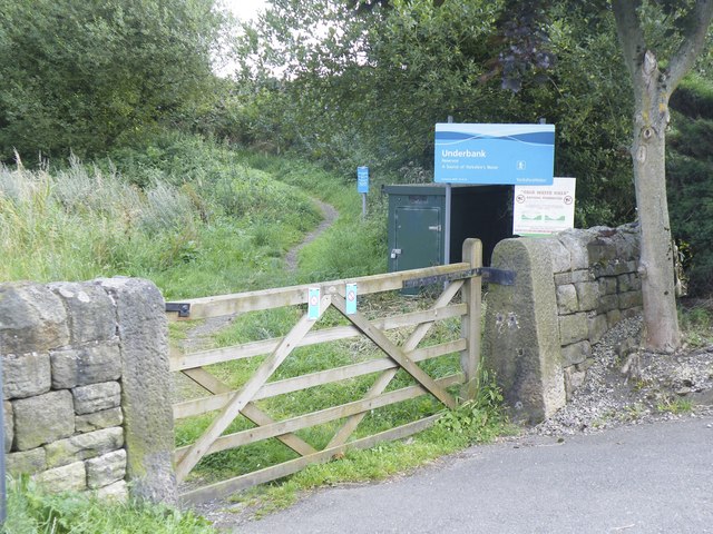
Image: © Terry Robinson Taken: 20 Aug 2012
Underbank is one of three reservoirs in the immediate area … … the others being Midhope and Langsett Nearby is historic The Potters' Well … see … Image
Images are licensed for reuse under creativecommons.org/licenses/by-sa/2.0
Image Location
Latitude
53.493207
Longitude
-1.644396