Llwybr ceffyl Mynydd Gelliwastad / Mynydd Gelliwastad bridleway
Introduction
The photograph on this page of Llwybr ceffyl Mynydd Gelliwastad / Mynydd Gelliwastad bridleway by Alan Richards as part of the Geograph project.
The Geograph project started in 2005 with the aim of publishing, organising and preserving representative images for every square kilometre of Great Britain, Ireland and the Isle of Man.

There are currently over 7.5m images from over 14,400 individuals and you can help contribute to the project by visiting https://www.geograph.org.uk
Llwybr ceffyl Mynydd Gelliwastad / Mynydd Gelliwastad bridleway
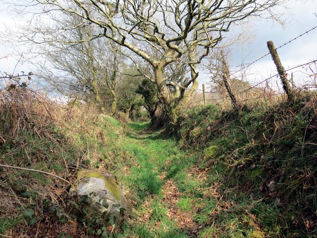
Image: © Alan Richards Taken: 27 Mar 2014
Hen heol sy'n arwain lan at Fynydd Gelliwastad. Mae'r ffordd bellach yn llwybr ceffyl. An old read leading up to an upland area known as Mynydd Gelliwastad (trans. flat grove mountain). The way has long been downgraded to a bridleway.
Images are licensed for reuse under creativecommons.org/licenses/by-sa/2.0
Image Location


Leaflet Map data © OpenStreetMap
Latitude
51.69423
Longitude
-3.923666