Entering West Horsley
Introduction
The photograph on this page of Entering West Horsley by Stephen McKay as part of the Geograph project.
The Geograph project started in 2005 with the aim of publishing, organising and preserving representative images for every square kilometre of Great Britain, Ireland and the Isle of Man.

There are currently over 7.5m images from over 14,400 individuals and you can help contribute to the project by visiting https://www.geograph.org.uk
Entering West Horsley
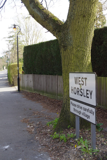
Image: © Stephen McKay Taken: 24 Mar 2014
This oddly positioned village sign appears to acknowledge the parish boundary between East and West Horsley which runs along Ockham Road North.
Images are licensed for reuse under creativecommons.org/licenses/by-sa/2.0
Image Location
Latitude
51.2832
Longitude
-0.439909