The southern end of the Carlton Hill Recreation Ground
Introduction
The photograph on this page of The southern end of the Carlton Hill Recreation Ground by Alan Murray-Rust as part of the Geograph project.
The Geograph project started in 2005 with the aim of publishing, organising and preserving representative images for every square kilometre of Great Britain, Ireland and the Isle of Man.

There are currently over 7.5m images from over 14,400 individuals and you can help contribute to the project by visiting https://www.geograph.org.uk
The southern end of the Carlton Hill Recreation Ground
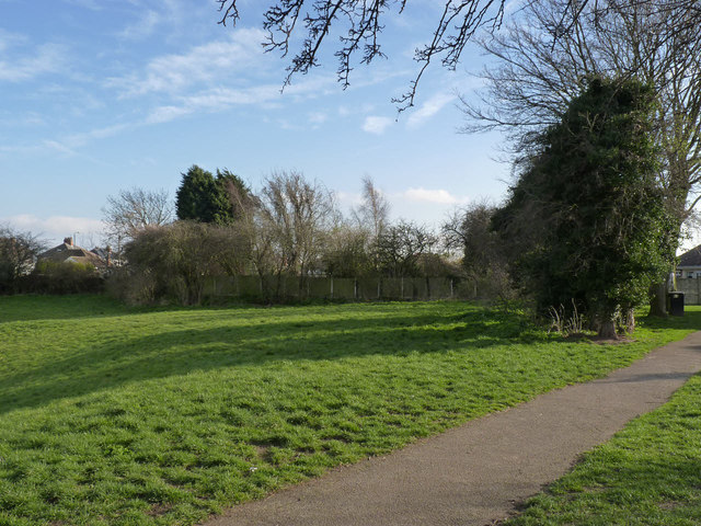
Image: © Alan Murray-Rust Taken: 16 Mar 2014
Showing the location of the boundary posts seen here http://www.geograph.org.uk/photo/3902680 http://www.geograph.org.uk/photo/3902681. The boundary between Nottingham City (right) and Gedling Borough (left) follows the line of trees on the right, then turns 90 degrees along the fence in the centre, then again at the left end of the fence. The posts are respectively at the right hand and left hand angles described. A third marker is shown on maps at the next corner, near the foot of the left hand conifers, but there is no sign of it.
Images are licensed for reuse under creativecommons.org/licenses/by-sa/2.0
Image Location
Latitude
52.962085
Longitude
-1.103581