Little Missenden
Introduction
The photograph on this page of Little Missenden by Bikeboy as part of the Geograph project.
The Geograph project started in 2005 with the aim of publishing, organising and preserving representative images for every square kilometre of Great Britain, Ireland and the Isle of Man.

There are currently over 7.5m images from over 14,400 individuals and you can help contribute to the project by visiting https://www.geograph.org.uk
Little Missenden
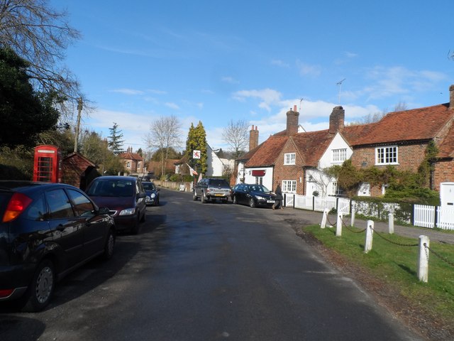
Image: © Bikeboy Taken: 23 Mar 2014
Showing the Red Lion Pub. The name Missenden is derived from the Old English for "where the marsh plants grow". The place is named "Missendene" in the Domesday Book. The London Aylesbury road passed through the village until the C19 when it was bypassed.
Images are licensed for reuse under creativecommons.org/licenses/by-sa/2.0
Image Location
Latitude
51.68139
Longitude
-0.667389