Farmland between Ysgyryd Fawr and the Black Mountains
Introduction
The photograph on this page of Farmland between Ysgyryd Fawr and the Black Mountains by Philip Halling as part of the Geograph project.
The Geograph project started in 2005 with the aim of publishing, organising and preserving representative images for every square kilometre of Great Britain, Ireland and the Isle of Man.

There are currently over 7.5m images from over 14,400 individuals and you can help contribute to the project by visiting https://www.geograph.org.uk
Farmland between Ysgyryd Fawr and the Black Mountains
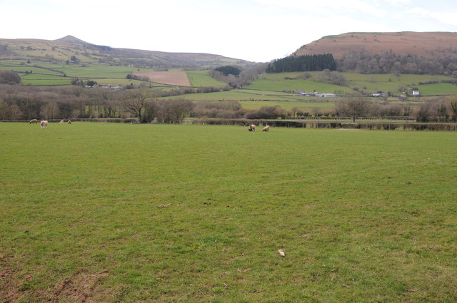
Image: © Philip Halling Taken: 15 Mar 2014
View across the valley towards Sugar Loaf, the summit of which is just visible. The A465 passes through this valley.
Images are licensed for reuse under creativecommons.org/licenses/by-sa/2.0
Image Location
Latitude
51.857979
Longitude
-2.996631