Layby, B64
Introduction
The photograph on this page of Layby, B64 by Richard Webb as part of the Geograph project.
The Geograph project started in 2005 with the aim of publishing, organising and preserving representative images for every square kilometre of Great Britain, Ireland and the Isle of Man.

There are currently over 7.5m images from over 14,400 individuals and you can help contribute to the project by visiting https://www.geograph.org.uk
Layby, B64
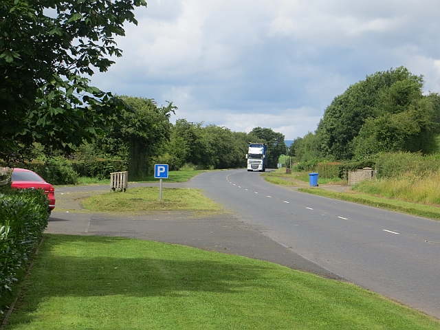
Image: © Richard Webb Taken: 30 Jul 2013
The Edenbane road between Garvagh and Kilrea is built to a high standard and has been modernised. Quite different to the country lane that is the Co. Antrim stretch of the road. More traffic too, as would be expected.
Images are licensed for reuse under creativecommons.org/licenses/by-sa/2.0
Image Location
Latitude
54.965194
Longitude
-6.63119