Railway Line near Brierley Hill, Dudley
Introduction
The photograph on this page of Railway Line near Brierley Hill, Dudley by Roger D Kidd as part of the Geograph project.
The Geograph project started in 2005 with the aim of publishing, organising and preserving representative images for every square kilometre of Great Britain, Ireland and the Isle of Man.

There are currently over 7.5m images from over 14,400 individuals and you can help contribute to the project by visiting https://www.geograph.org.uk
Railway Line near Brierley Hill, Dudley
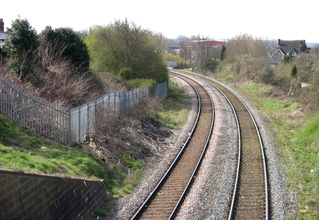
Image: © Roger D Kidd Taken: 4 Apr 2007
Looking south-west towards Stourbridge and Kidderminster, this is the view from the Pensnett Road bridge at the junction with High Street. The line is used for freight only, passenger traffic having ceased in 1962. It was opened in 1858 and used by the Oxford, Worcester and Wolverhampton Railway and the South Staffordshire Railway. Interesting ideas about reopening the line can be seen here: https://en.wikipedia.org/wiki/Brierley_Hill_railway_station
Images are licensed for reuse under creativecommons.org/licenses/by-sa/2.0
Image Location
Latitude
52.485801
Longitude
-2.126011