The Bunbury Arms, Stoak
Introduction
The photograph on this page of The Bunbury Arms, Stoak by Jeff Buck as part of the Geograph project.
The Geograph project started in 2005 with the aim of publishing, organising and preserving representative images for every square kilometre of Great Britain, Ireland and the Isle of Man.

There are currently over 7.5m images from over 14,400 individuals and you can help contribute to the project by visiting https://www.geograph.org.uk
The Bunbury Arms, Stoak
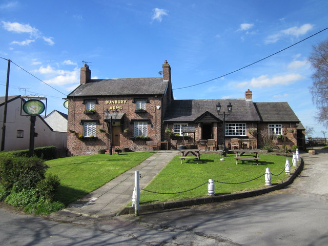
Image: © Jeff Buck Taken: 24 Mar 2014
The Bunbury Arms at Stoak has its origins as a 17th century ale house serving the local farming community.
Images are licensed for reuse under creativecommons.org/licenses/by-sa/2.0
Image Location
Latitude
53.253545
Longitude
-2.867944