Corner of Mawbey House with bespoke tiled name panel
Introduction
The photograph on this page of Corner of Mawbey House with bespoke tiled name panel by Robin Stott as part of the Geograph project.
The Geograph project started in 2005 with the aim of publishing, organising and preserving representative images for every square kilometre of Great Britain, Ireland and the Isle of Man.

There are currently over 7.5m images from over 14,400 individuals and you can help contribute to the project by visiting https://www.geograph.org.uk
Corner of Mawbey House with bespoke tiled name panel
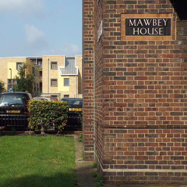
Image: © Robin Stott Taken: 25 Aug 2013
Mawbey House forms part of the Mawbey Estate, (guessing) council housing of the 1950s.
Images are licensed for reuse under creativecommons.org/licenses/by-sa/2.0
Image Location
Latitude
51.486357
Longitude
-0.072326