Lower floors of Castlemead, 232 Camberwell Road
Introduction
The photograph on this page of Lower floors of Castlemead, 232 Camberwell Road by Robin Stott as part of the Geograph project.
The Geograph project started in 2005 with the aim of publishing, organising and preserving representative images for every square kilometre of Great Britain, Ireland and the Isle of Man.

There are currently over 7.5m images from over 14,400 individuals and you can help contribute to the project by visiting https://www.geograph.org.uk
Lower floors of Castlemead, 232 Camberwell Road
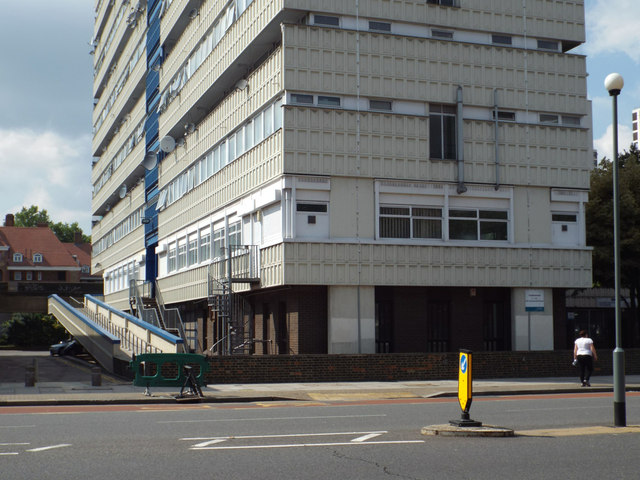
Image: © Robin Stott Taken: 25 Aug 2013
This is the landmark block of flats visible up and down the Camberwell Road http://www.geograph.org.uk/photo/3896641
Images are licensed for reuse under creativecommons.org/licenses/by-sa/2.0
Image Location
Latitude
51.478177
Longitude
-0.09456