Eroded track
Introduction
The photograph on this page of Eroded track by Jonathan Wilkins as part of the Geograph project.
The Geograph project started in 2005 with the aim of publishing, organising and preserving representative images for every square kilometre of Great Britain, Ireland and the Isle of Man.

There are currently over 7.5m images from over 14,400 individuals and you can help contribute to the project by visiting https://www.geograph.org.uk
Eroded track
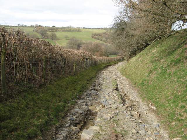
Image: © Jonathan Wilkins Taken: 17 Mar 2014
The track that leads towards Kerry Hill is also a public route. Here it shows how the sunken lane has become a torrent during recent heavy rain and eroded into dangerous potholes up to 50cm deep. A very rewarding walk, however!
Images are licensed for reuse under creativecommons.org/licenses/by-sa/2.0
Image Location
Latitude
52.47689
Longitude
-3.295025