North west end of School Road, Tettenhall Wood
Introduction
The photograph on this page of North west end of School Road, Tettenhall Wood by Richard Vince as part of the Geograph project.
The Geograph project started in 2005 with the aim of publishing, organising and preserving representative images for every square kilometre of Great Britain, Ireland and the Isle of Man.

There are currently over 7.5m images from over 14,400 individuals and you can help contribute to the project by visiting https://www.geograph.org.uk
North west end of School Road, Tettenhall Wood
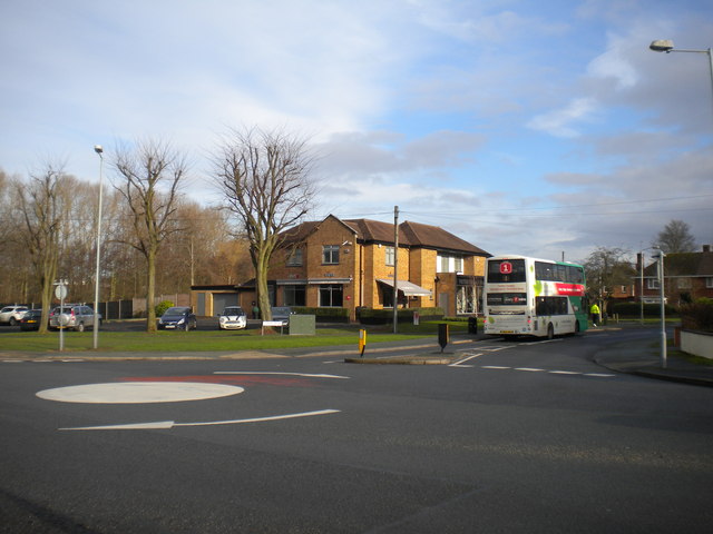
Image: © Richard Vince Taken: 10 Jan 2014
Seen from Mill Lane, on the western edge, physically and administratively, of the City of Wolverhampton. The bus in School Road has just turned in this junction, which is something of a tight squeeze for a modern double decker. It is waiting outside the former Bird in Hand pub, which has been converted into a cafe and beauty parlour.
Images are licensed for reuse under creativecommons.org/licenses/by-sa/2.0
Image Location
Latitude
52.593597
Longitude
-2.188174