Woodland by Rookery Hall
Introduction
The photograph on this page of Woodland by Rookery Hall by Espresso Addict as part of the Geograph project.
The Geograph project started in 2005 with the aim of publishing, organising and preserving representative images for every square kilometre of Great Britain, Ireland and the Isle of Man.

There are currently over 7.5m images from over 14,400 individuals and you can help contribute to the project by visiting https://www.geograph.org.uk
Woodland by Rookery Hall
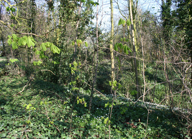
Image: © Espresso Addict Taken: 5 Apr 2007
Belt of mixed deciduous woodland beside the B5074, south west of Rookery Hall. White celandines clothe the ground on a slope (right)
Images are licensed for reuse under creativecommons.org/licenses/by-sa/2.0
Image Location
Latitude
53.098299
Longitude
-2.51191