Church of the Nativity of the Blessed Virgin Mary
Introduction
The photograph on this page of Church of the Nativity of the Blessed Virgin Mary by Bikeboy as part of the Geograph project.
The Geograph project started in 2005 with the aim of publishing, organising and preserving representative images for every square kilometre of Great Britain, Ireland and the Isle of Man.

There are currently over 7.5m images from over 14,400 individuals and you can help contribute to the project by visiting https://www.geograph.org.uk
Church of the Nativity of the Blessed Virgin Mary
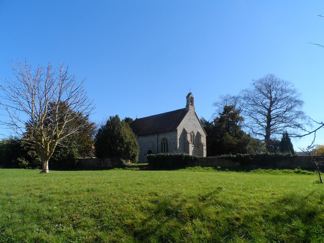
Image: © Bikeboy Taken: 16 Mar 2014
C12 origins as witnessed by a blocked up Norman doorway. However the church was largely rebuilt in 1878. Cowell is a spring line settlement. These occur on the slopes of hills where springs are available to provide water. Lower down the slope the land is more fertile but unsuitable for dwellings due to the lack of water. Each springline settlement has its associated strip of fertile land lower down the hill.
Images are licensed for reuse under creativecommons.org/licenses/by-sa/2.0
Image Location


Leaflet Map data © OpenStreetMap
Latitude
51.691041
Longitude
-0.924771