Canal Lock, Kirklees Cut, Rastrick
Introduction
The photograph on this page of Canal Lock, Kirklees Cut, Rastrick by Humphrey Bolton as part of the Geograph project.
The Geograph project started in 2005 with the aim of publishing, organising and preserving representative images for every square kilometre of Great Britain, Ireland and the Isle of Man.

There are currently over 7.5m images from over 14,400 individuals and you can help contribute to the project by visiting https://www.geograph.org.uk
Canal Lock, Kirklees Cut, Rastrick
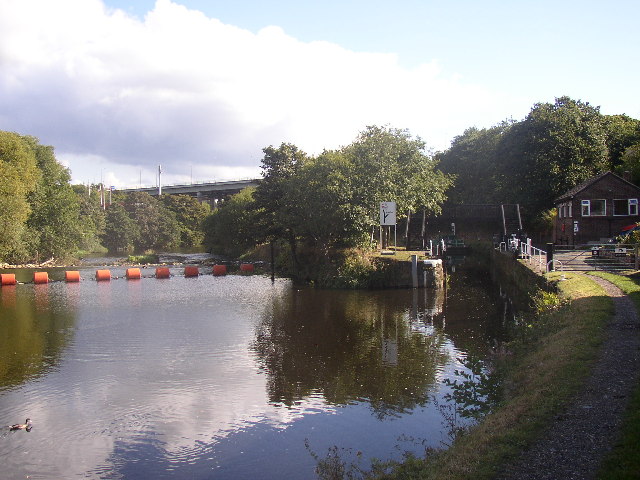
Image: © Humphrey Bolton Taken: 27 Sep 2003
The Calder and Hebble Navigation was constructed to use navigable strethes of riverwhere possible, but canal 'cuts' were often necessary to bypass mills and their weirs, in this case the old corn mill at Clifton (now a pub/restaurant).
Images are licensed for reuse under creativecommons.org/licenses/by-sa/2.0
Image Location


Leaflet Map data © OpenStreetMap
Latitude
53.692407
Longitude
-1.760691