Farmland below Westgarth Hill
Introduction
The photograph on this page of Farmland below Westgarth Hill by Bill Boaden as part of the Geograph project.
The Geograph project started in 2005 with the aim of publishing, organising and preserving representative images for every square kilometre of Great Britain, Ireland and the Isle of Man.

There are currently over 7.5m images from over 14,400 individuals and you can help contribute to the project by visiting https://www.geograph.org.uk
Farmland below Westgarth Hill
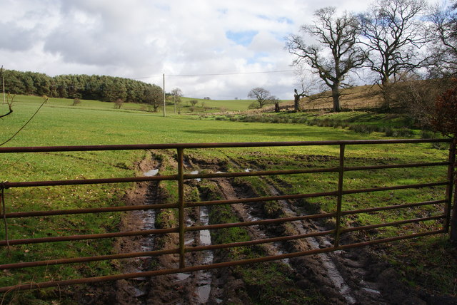
Image: © Bill Boaden Taken: 7 Mar 2014
A drainage channel runs in the depression to the right, but the ground is still very soft.
Images are licensed for reuse under creativecommons.org/licenses/by-sa/2.0
Image Location
Latitude
54.775307
Longitude
-2.69921