Lhanbryde Old Churchyard
Introduction
The photograph on this page of Lhanbryde Old Churchyard by Anne Burgess as part of the Geograph project.
The Geograph project started in 2005 with the aim of publishing, organising and preserving representative images for every square kilometre of Great Britain, Ireland and the Isle of Man.

There are currently over 7.5m images from over 14,400 individuals and you can help contribute to the project by visiting https://www.geograph.org.uk
Lhanbryde Old Churchyard
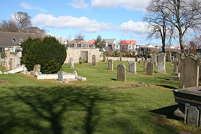
Image: © Anne Burgess Taken: 5 Apr 2007
Looking across from the south-eastern corner of the churchyard to Walkers Crescent and the new housing beyond.
Images are licensed for reuse under creativecommons.org/licenses/by-sa/2.0
Image Location


Leaflet Map data © OpenStreetMap
Latitude
57.634822
Longitude
-3.22257