West Middlesex University Hospital from the air
Introduction
The photograph on this page of West Middlesex University Hospital from the air by Thomas Nugent as part of the Geograph project.
The Geograph project started in 2005 with the aim of publishing, organising and preserving representative images for every square kilometre of Great Britain, Ireland and the Isle of Man.

There are currently over 7.5m images from over 14,400 individuals and you can help contribute to the project by visiting https://www.geograph.org.uk
West Middlesex University Hospital from the air
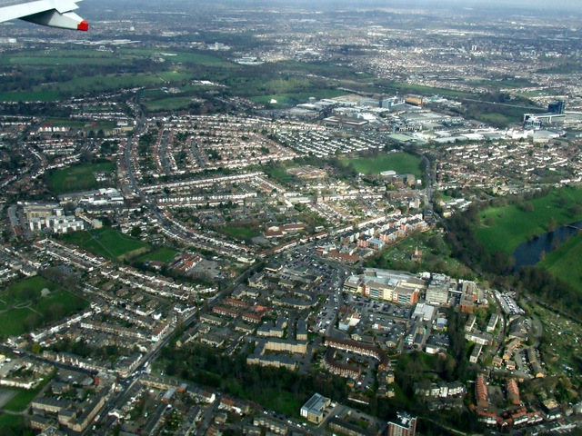
Image: © Thomas Nugent Taken: 18 Mar 2014
The hospital is in the lower right quadrant, with Isleworth beyond.
Images are licensed for reuse under creativecommons.org/licenses/by-sa/2.0
Image Location
Latitude
51.470988
Longitude
-0.324517