All Saints, Odell - SE elevation
Introduction
The photograph on this page of All Saints, Odell - SE elevation by David Kemp as part of the Geograph project.
The Geograph project started in 2005 with the aim of publishing, organising and preserving representative images for every square kilometre of Great Britain, Ireland and the Isle of Man.

There are currently over 7.5m images from over 14,400 individuals and you can help contribute to the project by visiting https://www.geograph.org.uk
All Saints, Odell - SE elevation
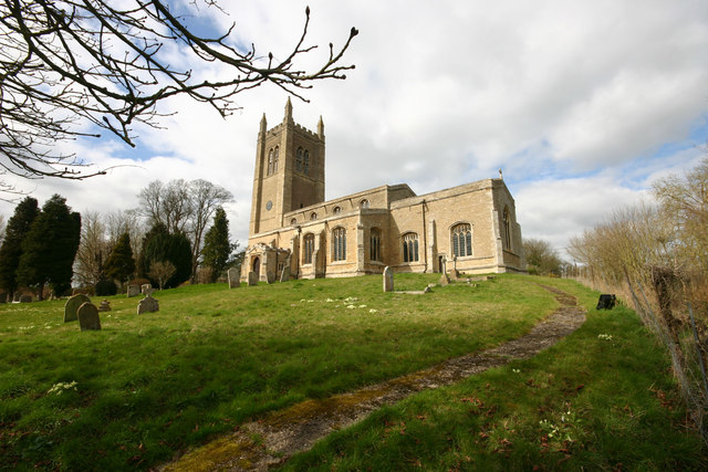
Image: © David Kemp Taken: 17 Mar 2014
Standing on its hillock, the church dominates the approach to Odell in both directions.
Images are licensed for reuse under creativecommons.org/licenses/by-sa/2.0
Image Location
Latitude
52.211657
Longitude
-0.58645