Stevington - village centre
Introduction
The photograph on this page of Stevington - village centre by David Kemp as part of the Geograph project.
The Geograph project started in 2005 with the aim of publishing, organising and preserving representative images for every square kilometre of Great Britain, Ireland and the Isle of Man.

There are currently over 7.5m images from over 14,400 individuals and you can help contribute to the project by visiting https://www.geograph.org.uk
Stevington - village centre
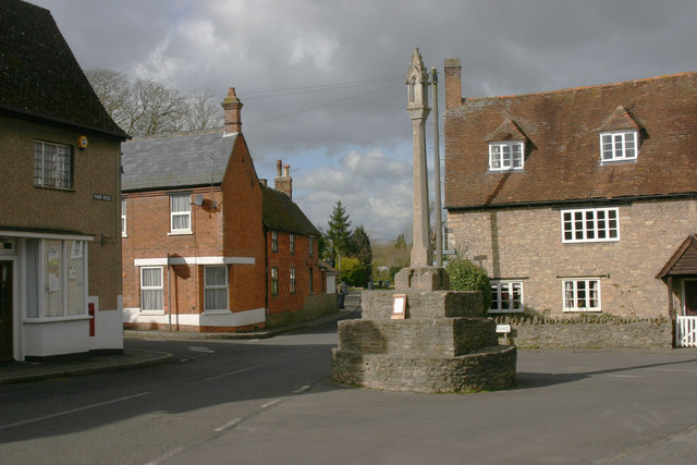
Image: © David Kemp Taken: 17 Mar 2014
Taken from Park Road looking west into Court Lane. Silver Street runs to the left and Church Road to the right.
Images are licensed for reuse under creativecommons.org/licenses/by-sa/2.0
Image Location
Latitude
52.168568
Longitude
-0.554916