M20 and Houses on Station Road, Aylesford
Introduction
The photograph on this page of M20 and Houses on Station Road, Aylesford by Danny P Robinson as part of the Geograph project.
The Geograph project started in 2005 with the aim of publishing, organising and preserving representative images for every square kilometre of Great Britain, Ireland and the Isle of Man.

There are currently over 7.5m images from over 14,400 individuals and you can help contribute to the project by visiting https://www.geograph.org.uk
M20 and Houses on Station Road, Aylesford
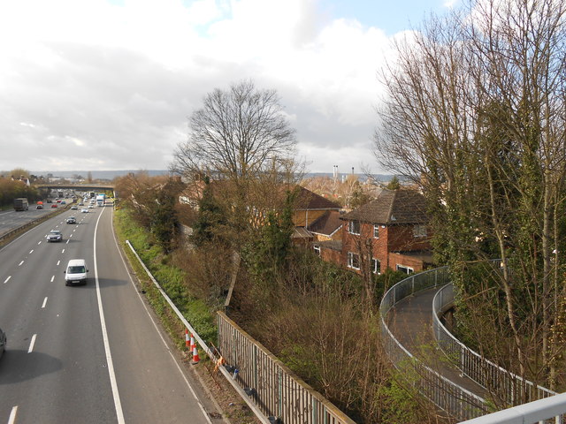
Image: © Danny P Robinson Taken: 18 Mar 2014
The carriageway to the left is London-bound, traffic coming towards us is coast-bound. The M20 passes within a few metres of the houses on Station Road, and may well have been built on what was originally the back gardens of these houses.
Images are licensed for reuse under creativecommons.org/licenses/by-sa/2.0
Image Location


Leaflet Map data © OpenStreetMap
Latitude
51.300809
Longitude
0.4659