Mill Hall, Aylesford
Introduction
The photograph on this page of Mill Hall, Aylesford by Danny P Robinson as part of the Geograph project.
The Geograph project started in 2005 with the aim of publishing, organising and preserving representative images for every square kilometre of Great Britain, Ireland and the Isle of Man.

There are currently over 7.5m images from over 14,400 individuals and you can help contribute to the project by visiting https://www.geograph.org.uk
Mill Hall, Aylesford
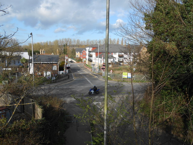
Image: © Danny P Robinson Taken: 18 Mar 2014
Looking from the footbridge over the M20. The houses are in a road called Friars View. The level crossing is near Aylesford Station.
Images are licensed for reuse under creativecommons.org/licenses/by-sa/2.0
Image Location
Latitude
51.301327
Longitude
0.466932