Send Business Park and Broadmead Cut
Introduction
The photograph on this page of Send Business Park and Broadmead Cut by Stefan Czapski as part of the Geograph project.
The Geograph project started in 2005 with the aim of publishing, organising and preserving representative images for every square kilometre of Great Britain, Ireland and the Isle of Man.

There are currently over 7.5m images from over 14,400 individuals and you can help contribute to the project by visiting https://www.geograph.org.uk
Send Business Park and Broadmead Cut
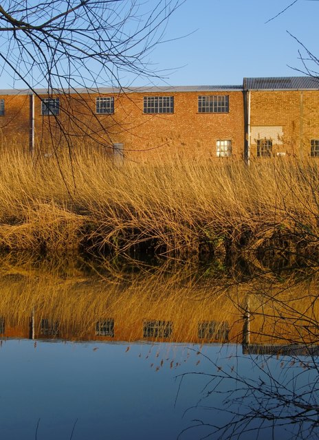
Image: © Stefan Czapski Taken: 9 Mar 2014
In the immediate foreground is the Broadmead Cut, then a narrow neck of land, fringed with reeds. Beyond that, unseen, is the main channel of the Wey Navigation - and then the old tannery site, now occupied by Send Business Park.
Images are licensed for reuse under creativecommons.org/licenses/by-sa/2.0
Image Location
Latitude
51.29618
Longitude
-0.52553