A Hidden Bunker
Introduction
The photograph on this page of A Hidden Bunker by Mary and Angus Hogg as part of the Geograph project.
The Geograph project started in 2005 with the aim of publishing, organising and preserving representative images for every square kilometre of Great Britain, Ireland and the Isle of Man.

There are currently over 7.5m images from over 14,400 individuals and you can help contribute to the project by visiting https://www.geograph.org.uk
A Hidden Bunker
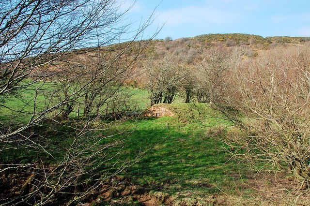
Image: © Mary and Angus Hogg Taken: 12 Mar 2014
I've never noticed this before and don't know what it is. Judging by the brickwork, it could be an old wartime facility. It's right beside the burn. Further information from a fellow Geographer suggests that it could be a feature of the water supply.
Images are licensed for reuse under creativecommons.org/licenses/by-sa/2.0
Image Location
Latitude
55.327379
Longitude
-4.686591