Lochspouts Shore
Introduction
The photograph on this page of Lochspouts Shore by Mary and Angus Hogg as part of the Geograph project.
The Geograph project started in 2005 with the aim of publishing, organising and preserving representative images for every square kilometre of Great Britain, Ireland and the Isle of Man.

There are currently over 7.5m images from over 14,400 individuals and you can help contribute to the project by visiting https://www.geograph.org.uk
Lochspouts Shore
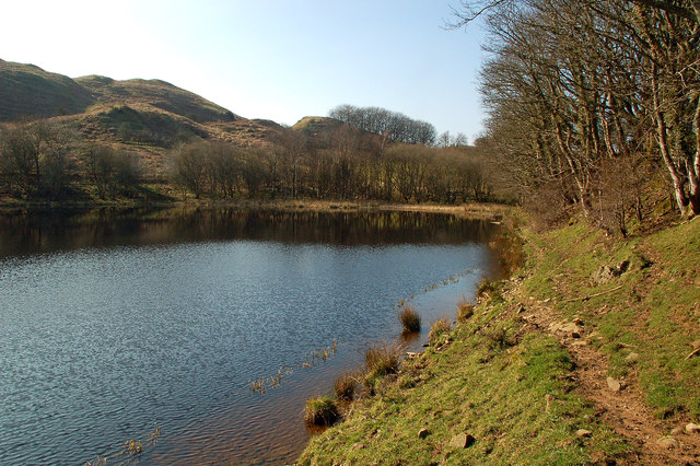
Image: © Mary and Angus Hogg Taken: 12 Mar 2014
The far end of Lochspouts, near the farm. Lochspouts was the reservoir for Maybole and nearby villages until the new supply at Loch Bradan was introduced in the late 1970s. The loch was managed by the Maybole Angling Club until the cost of maintenance proved prohibitive. It's a glacial kettle lake.
Images are licensed for reuse under creativecommons.org/licenses/by-sa/2.0
Image Location
Latitude
55.316882
Longitude
-4.701958