Plaque on Millers Bridge
Introduction
The photograph on this page of Plaque on Millers Bridge by Rose and Trev Clough as part of the Geograph project.
The Geograph project started in 2005 with the aim of publishing, organising and preserving representative images for every square kilometre of Great Britain, Ireland and the Isle of Man.

There are currently over 7.5m images from over 14,400 individuals and you can help contribute to the project by visiting https://www.geograph.org.uk
Plaque on Millers Bridge
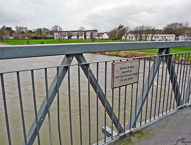
Image: © Rose and Trev Clough Taken: 21 Dec 2013
For a different view of the location, see Image . About half of the bridge collapsed during severe flooding of the River Derwent in November 2009. It was repaired, extended and reinstated - the plaque records the reopening of the bridge by The Princess Royal in July 2010. We guess the bridge gets its name from Millers shoe factory, which was a major employer for about 50 years, closing in the early 1990s. It was on the north side of the river at Image . The 19th century mill was built by the Harris family - on official maps this bridge is called Harris Bridge.
Images are licensed for reuse under creativecommons.org/licenses/by-sa/2.0
Image Location
Latitude
54.664546
Longitude
-3.367854