Standing Stone
Introduction
The photograph on this page of Standing Stone by Dave Smethurst as part of the Geograph project.
The Geograph project started in 2005 with the aim of publishing, organising and preserving representative images for every square kilometre of Great Britain, Ireland and the Isle of Man.

There are currently over 7.5m images from over 14,400 individuals and you can help contribute to the project by visiting https://www.geograph.org.uk
Standing Stone
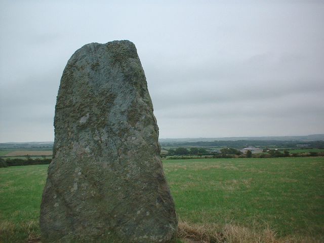
Image: © Dave Smethurst Taken: 15 Aug 2005
This image was taken looking SE at SH319864. On the left of the image can be seen a large standing stone and the pasture land, which is typical of this part of Anglesey, can be seen behind. In the distance can be seen farm buildings at Fadog-lwyd.
Images are licensed for reuse under creativecommons.org/licenses/by-sa/2.0
Image Location


Leaflet Map data © OpenStreetMap
Latitude
53.3477
Longitude
-4.526785