Chimney stack in Tettenhall Road, Wolverhampton
Introduction
The photograph on this page of Chimney stack in Tettenhall Road, Wolverhampton by Roger D Kidd as part of the Geograph project.
The Geograph project started in 2005 with the aim of publishing, organising and preserving representative images for every square kilometre of Great Britain, Ireland and the Isle of Man.

There are currently over 7.5m images from over 14,400 individuals and you can help contribute to the project by visiting https://www.geograph.org.uk
Chimney stack in Tettenhall Road, Wolverhampton
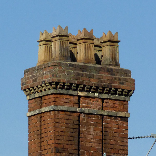
Image: © Roger D Kidd Taken: 9 Mar 2014
Seen from the rear of the late Victorian building, No 9 Tettenhall Road, now let as flats. One of these chimney pots is beginning to appear precarious, so we will see what maintenance is done in future years.
Images are licensed for reuse under creativecommons.org/licenses/by-sa/2.0
Image Location
Latitude
52.585931
Longitude
-2.141353