Hallet Drive flats in Wolverhampton
Introduction
The photograph on this page of Hallet Drive flats in Wolverhampton by Roger D Kidd as part of the Geograph project.
The Geograph project started in 2005 with the aim of publishing, organising and preserving representative images for every square kilometre of Great Britain, Ireland and the Isle of Man.

There are currently over 7.5m images from over 14,400 individuals and you can help contribute to the project by visiting https://www.geograph.org.uk
Hallet Drive flats in Wolverhampton
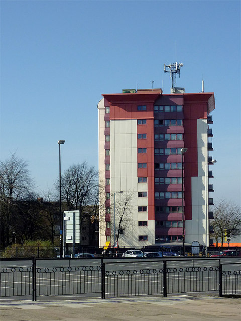
Image: © Roger D Kidd Taken: 9 Mar 2014
This is the northernmost of three such blocks in Hallet Drive, just outside the dual carriageway Ring Road St Mark's. The School Street car park is in the foreground.
Images are licensed for reuse under creativecommons.org/licenses/by-sa/2.0
Image Location
Latitude
52.581714
Longitude
-2.134108